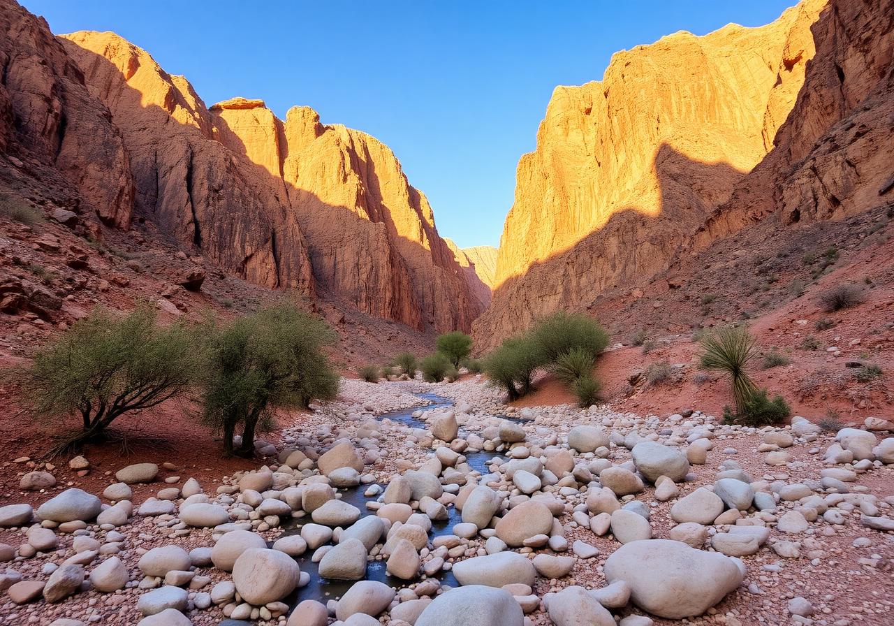
Ancient ocean floor, lifted into mountains.
The Hajar are not ordinary mountains. They are an ophiolite sequence — a slab of oceanic crust thrust onto the Arabian plate. Daftah sits inside that geological inheritance.
Daftah in its corridor.
An OpenStreetMap view centred on Daftah, with the Wadi Ham, the highway, and neighbouring villages visible in context.
The Hajar are sea floor lifted into the sky.
Roughly 95 million years ago, a slice of oceanic crust was obducted — pushed up rather than subducted down — onto the edge of the Arabian plate. That slice is the Semail ophiolite, and the Hajar Mountains of the UAE and Oman are some of its most exposed expressions on Earth.
The result is a landscape unusually rich in chromite, serpentinite, gabbro, and other minerals that ordinarily live deep beneath the ocean. Wadi Daftah is listed on Mindat.org — the global mineral database — as a documented locality, a small entry that quietly connects this corner of Ras Al Khaimah to the planetary record of earth science.
Hydrology & Elevation
- Wadi flow direction
- Eastward through Wadi Ham toward the Gulf of Oman
- Seasonal behaviour
- Dry through summer; flash flow possible after winter rains (Dec–Mar)
- Approximate elevation
- ~250–400 m at the village; over 1,000 m on adjacent ridges
- Ridge geology
- Semail ophiolite — peridotite mantle and gabbro lower crust