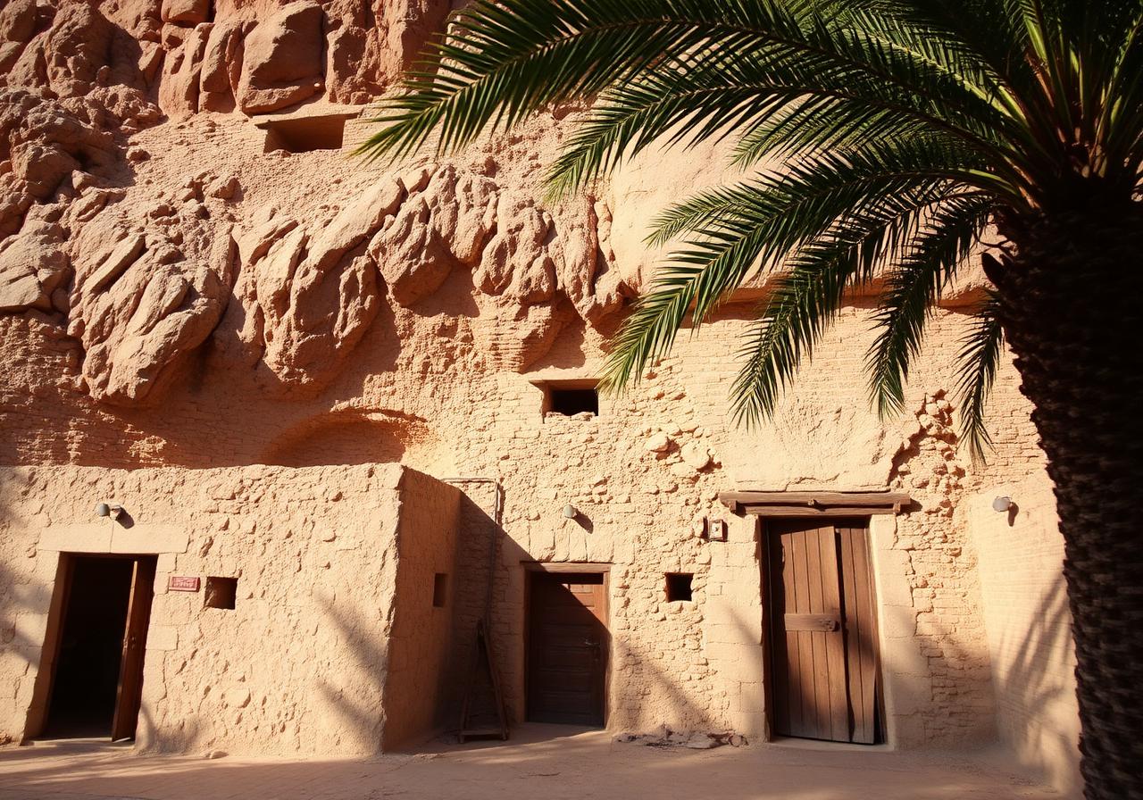
A waypoint that became a homeland.
Daftah is more than a name on the road from Masafi. It is a place where the old village still stands behind the modern strip, and where the mountains themselves are part of the family record.
Drive east from Masafi on the road that bends through the Wadi Ham, and at a certain point the rock walls open into a quiet pocket of the Hajar Mountains. This is Daftah.
On the surface it appears modern: petrol stations, a roadside mosque, new villas with satellite dishes catching the desert sun. But step past the strip and the older village reveals itself — dry-stone houses built into the slope, falaj channels still traceable in the dust, date palms standing where they have always stood.
Daftah belongs administratively to Ras Al Khaimah's Southern Area, the Third Area, alongside Kedra, Huwaylat, Ghayl, Uthun, Asimah, and Rafaq — a constellation of mountain settlements that together describe an inland Emirati civilization seldom visited and rarely told. Each village has its own water, its own families, and its own place in the long argument between the rock and the people who chose to live in it.
Geographically Daftah sits at a hinge — a point on the Wadi Ham corridor where the road from Sharjah meets the road to Khor Fakkan, where the mountains step down toward Fujairah and the sea is only twenty minutes away. For centuries this position made Daftah a place of passage and shelter. The new mountain highway has made it something more: a place that can finally be reached on its own terms, in its own time.
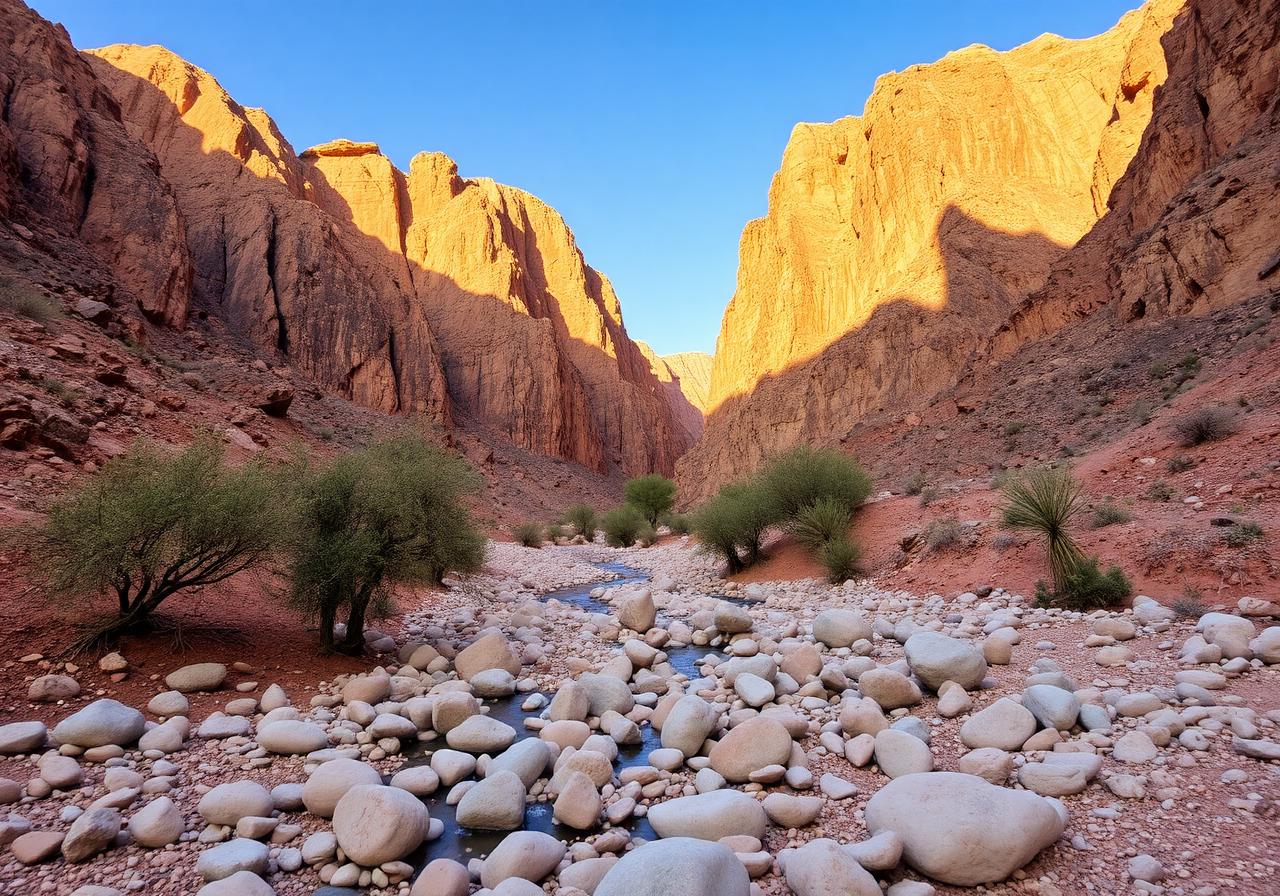
At a glance
- Emirate
- Ras Al Khaimah
- Area
- Southern (Third) Area
- Corridor
- Wadi Ham
- Nearest town
- Masafi
- Range
- Hajar Mountains